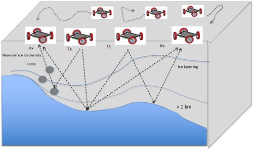
A simple graphical depiction of a conceptual team of Dasher robots being used to map an ice shelf.
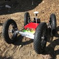
Dasher is a herd of autonomous robots for Earth science applications. These robots are equipped with a 180 MHz – 2 GHz ground penetrating radar for multi-static imaging. They also have high precision GPS receivers. Together, the herd will map the under ice shelf topography (channels located in areas of concentrated melt) and the change in under-ice melt rate through time to better understand the controlling mechanisms governing changes in basal melt rates.